
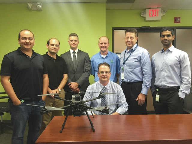
FAIRBORN – Individuals at the Wright State Research Institute have spent the past eight months developing a website and mobile app designed to manage UAS traffic and increase safety in the sky.
“We’re actively building a volunteery, community-based drone traffic management system,” said Bruce Preiss, lead research engineer at WSRI and FlyTransperent CEO. “There are too many users out in the nation right now to have them send their [information] to air traffic controllers. Most of the numbers I’ve seen are anywhere from half a million to three-quarters of a million drones are already flying … There’s no way FAA air traffic controllers can track all that.”
GoFlyZone will allow users to see the area around them in a map-like fashion, and plan their flights to alert other UAS flyers where their respective machinery will be located. It will also include push notifications, and will alert users of FAA regulations that would hinder their route by preventing them from planning to fly in those zones, and providing information behind the reasoning. Users would also be alerted of medical flight vehicles in order to keep themselves and other flying vehicles safe. It does not include active tracking.
He said the idea is to give users a visual interface to prevent them from having to translate coordinates in their minds. It allows users to plan routes, see other users, no-flight zones as well as potential conflicts, and gives reasoning behind such. It will then give recomendations for alternate routes. It implements FAA regulations in the planning interface.
“The drone community itself needs to track all this because there are problems with helicopter flights and medical flights, there are problems with general aviation aircraft, such as crop dusters, that could cause all sorts of problems,” Preiss said. “If we stood up and tried to self-regulate ourselves, I think it’s a step in the right direction. It may not be the final solution we come up with, but I think it’s a good start.”
GoFlyZone has not yet been launched, but Preiss hopes for it to go live within the coming months.
“Bottom line is: we’d like everyone to be able to fly freely and safely,” he said. “There’s a lot of websites that are popping up out there now based on how to limit people flying their drones. It’s something out there called ‘no-fly zone’, people are saying you can’t fly in this area [it’s] above D.C. – no fly zone. Everyone wants to fly. We want to be able to enable these solutions, we want to be able to give these people a solution to let them fly now and to do it safely. That’s what GoFlyZone is all about.”

